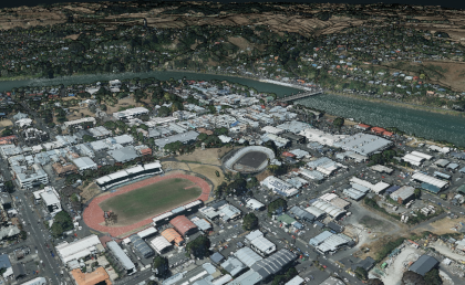
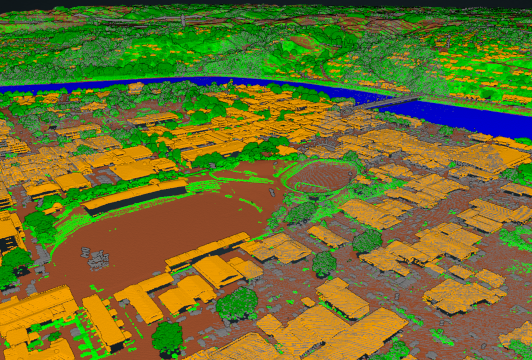
Whanganui Lidar
LiDAR data allows Council and mapping professionals to examine both our natural and man-made environments with accuracy, precision, and flexibility in 3D. Council is using LiDAR to produce more accurate maps, utlise digital elevation models in our geographic information systems, to assist in emergency response operations, and in many other applications.
Lidar, which stands for Light Detection and Ranging, is a remote sensing method that uses laser light to measure distances to the Earth. Lidar systems emit pulses of laser light and measure the time it takes for the light to travel to a target and back. By measuring the time difference, the distance to the target can be calculated with great accuracy.
Discover the available Lidar Resources...
Viewers...
-
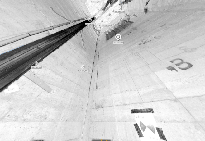
This viewer displays the LiDAR point cloud points that
have been classified according to
PGF LINZ LiDAR Specification